Åland SeaMap

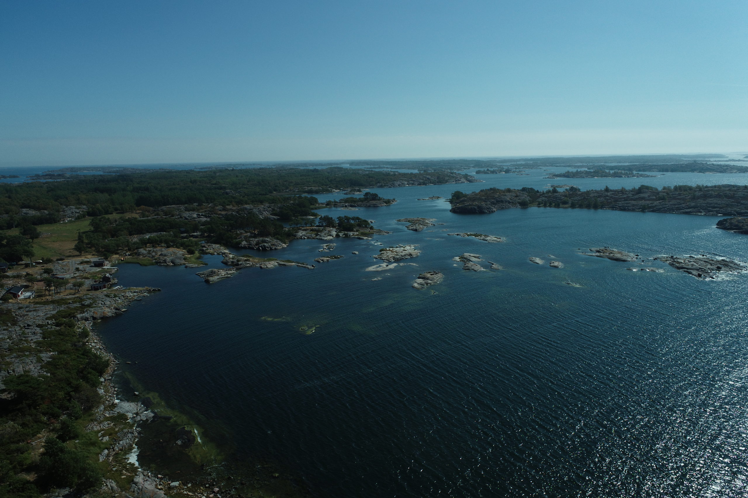
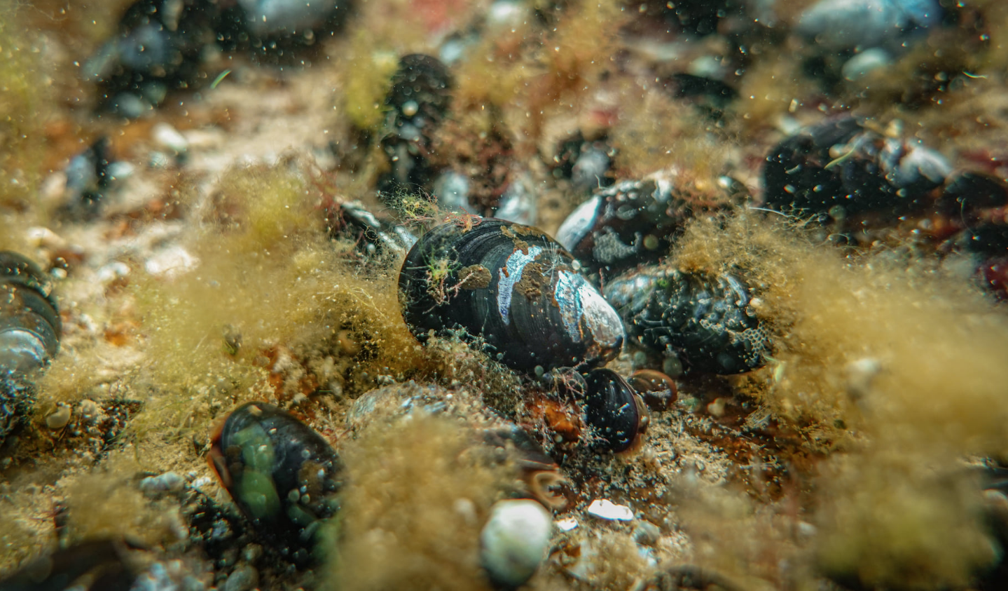
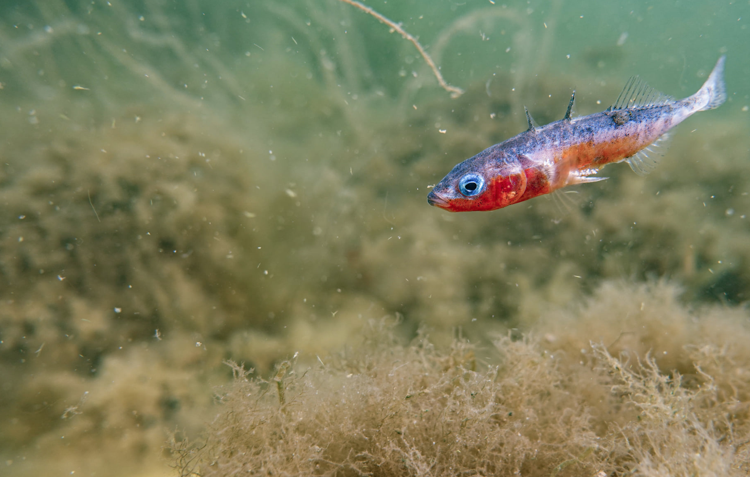
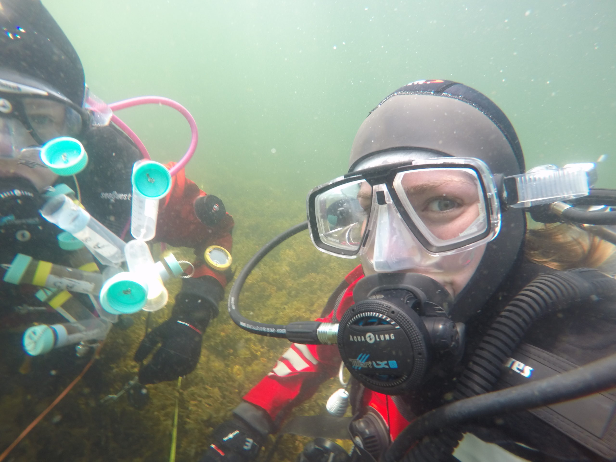
The sea area around the Åland Islands, especially its northern parts, is one of the most pristine archipelago areas of the northern Baltic Sea, but its potentially high marine nature values remain largely unmapped. Activities such as shipping, fish farming, wind energy production and tourism are expanding rapidly in the area, being threats to the marine environment. To manage the marine areas proactively in an ecologically sustainable way and to establish new MPAs, information on the distribution of important marine habitats and species is urgently needed.
A very small division in the Government of Åland (GÅ) deals with all nature protection issues in Åland, without possibilities to carry out marine mapping. Therefore, Åbo Akademi University (ÅAU), with long experience in marine mapping and spatial modelling, and with a biological field station at Åland Islands, has provided the necessary information. Through intensive underwater mapping, data analysis and stakeholder communication, ÅAU was able to suggest suitable areas for marine protection and give the Åland government the necessary information for an ecosystem-based management of the sea areas on its territory.
The most concrete and tangible result of this project are 40 km² of new marine protected areas (MPA) that have been established so far, and at least 25 km² more are to follow until 2030 based on the data gathered in this project.


Beneficiary
Åbo Akademi University
Partners
- Government of Åland
- European Maritime and Fisheries Fund
Project region
Åland Islands archipelago, Finnland
Project duration
2019-06-01 – 2023-12-31
Budget
total project budget: €796,000
funding BaltCF: €230,000
Links