Åland Sea Map
Summary
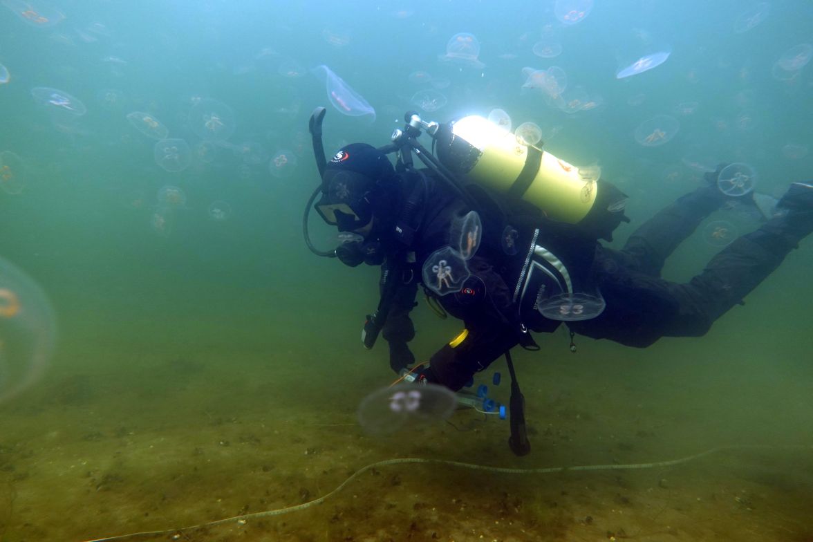
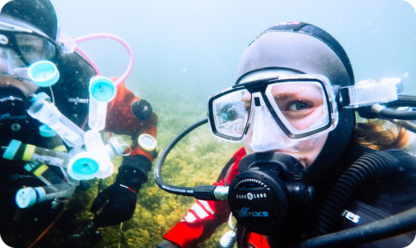
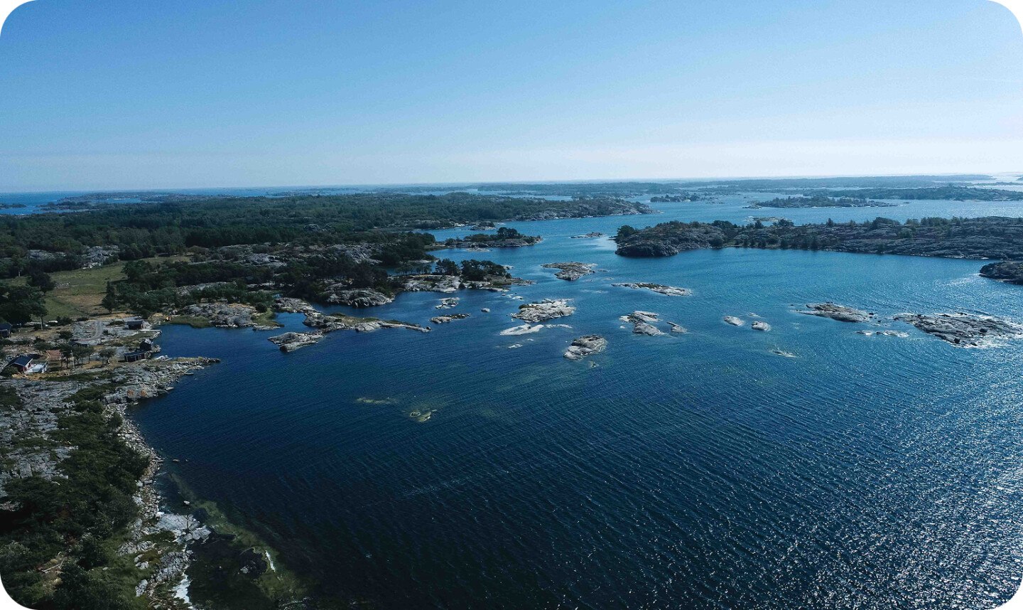
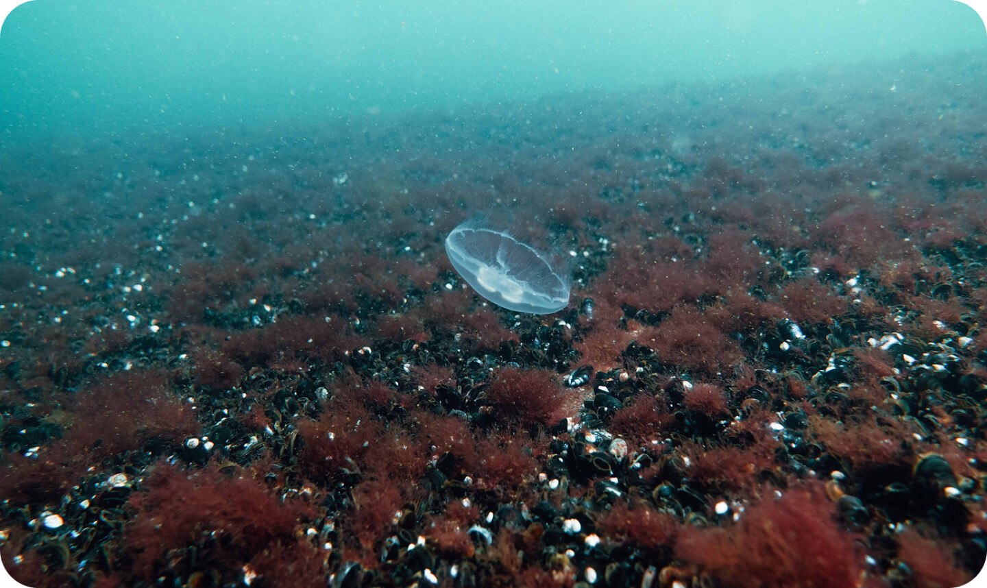
In this project, researchers from Åbo Akademi University mapped the underwater marine nature of the Åland Islands to enable the creation of new Marine Protected Areas (MPA). After extensive field inventories were carried out, a site-selection analysis using a MARXAN methodology was done to identify the most suitable nature areas to incorporate into the MPA network of Åland Islands, considering also socio-economical aspects. The project made it possible for Åland’s regional government to make knowledge-based decisions about the optimal locations of new Marine Protected Areas. This cooperation between researchers and political decision-makers is a key example of how BaltCF can fund research: If there is a clear plan for using the results to achieve tangible improvements for the Baltic Sea.
Project Data
Beneficiary
Co-funders
- Government of Åland
- European Maritime and
- Fisheries Fund
Country
FinlandDuration
2019/06/01 - 2023/12/31Budget
Links
Project Results
Almost 40 km² of new marine protected areas have been established or designated by the end of the project.
270 ha of those have already been registered as Natura 2000 areas, the rest has been reported and is awaiting registration.
Another 25 km2 of new MPAs are still to be established until 2030.